Summit-trapped
Cleddau and crew had breathed an all-round sigh of relief on 21st July. Then, after an enforced wait below Foxton Locks for a repair to be made on a paddle, they ascended the Foxton Flight, just days before its closure. Canal breaches, paddle failures, lock restrictions, low water resources and lock closures have all been continuing themes this summer.
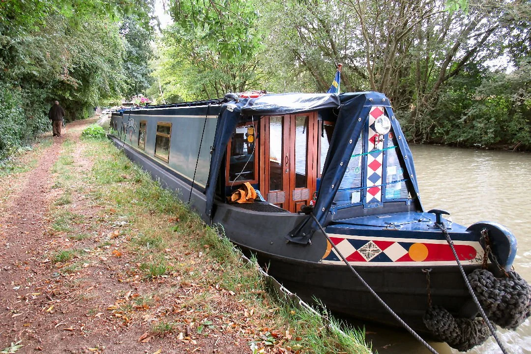
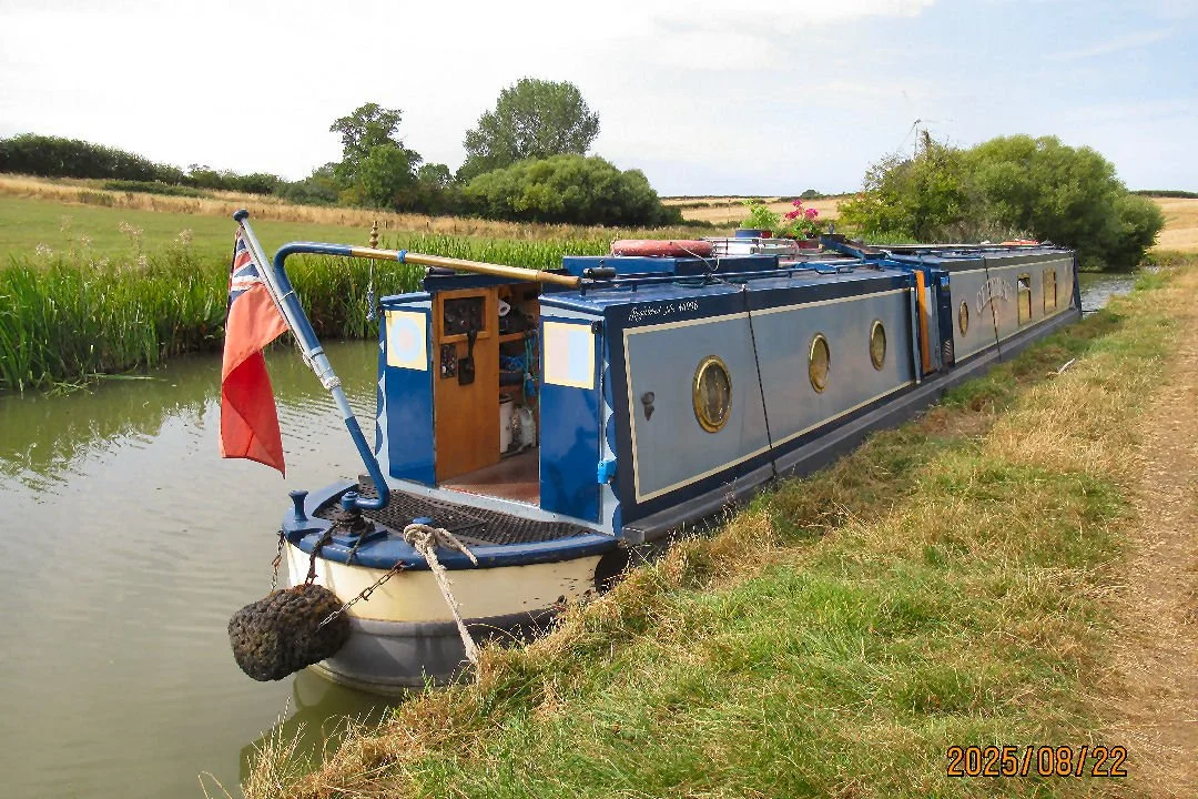
Safe above Foxton Locks Cleddau cruised back to Crick Marina and tucked herself back onto her pontoon
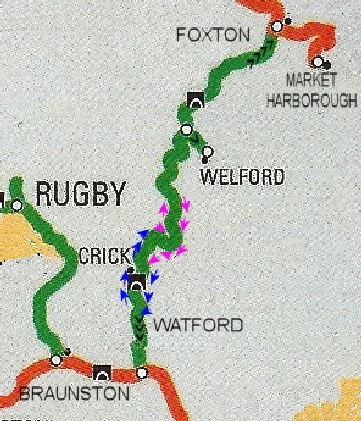
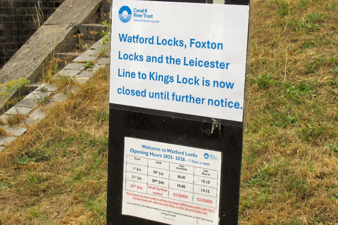
This was the message from Canal and River Trust on 24th July: While the closure is in place locks will be closed but boaters will be free to cruise along pounds between winding places, this includes the 22 mile pound between Watford Lock flight and Foxton Lock flight.
Mid-August a combination of wanderlust (change of scene needed) and claustrophobia (boat sandwiched between others on neighbouring pontoons) inspired a 5 mile cruise northwards (See the latter part of blog post https://www.boatwif.co.uk/boat-update/the-short-and-the-tall-of-it)
… So what about a short trip in the other direction, Boatwif mused last week. It was easy to visualise: out of the marina, turn left, cruise past the other two Crick Marina entrances, past Crick Wharf (now under redevelopment by Smithwood Boats), past Crick Wharf Marina, through Crick Tunnel and then wend the mile or so to the top of Watford Locks, to turn around before the locks are reached.
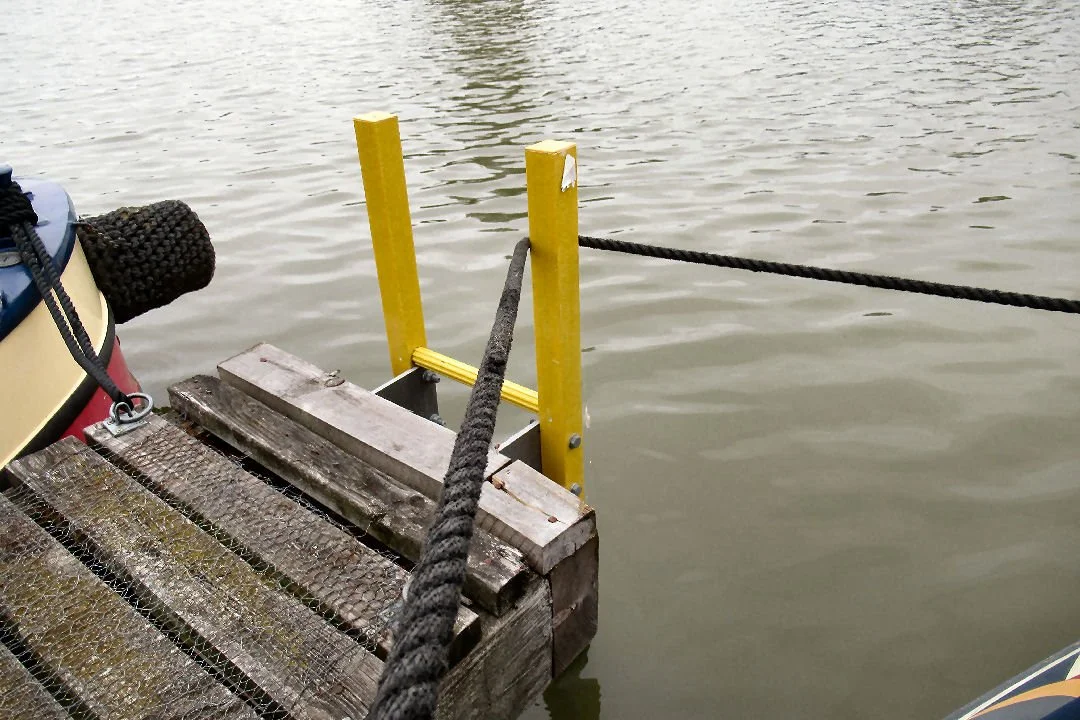
The boat was readied for departure. There was a brisk easterly wind across the marina. The bow rope was held round a post on the end of the pontoon. “Don’t let it slip too soon,” the Captain warned, aware of the proximity of boats on either side.
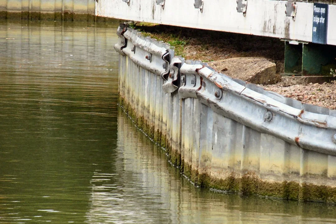
Out of the marina, care taken to avoid the piling hazard by the pedestrian bridge.
To alert any boat traffic on the canal outside the Captain gave two sharp blasts of the horn. “Ooh!” Two ladies unloading the boot of a car gasped and jerked in surprise.
“Don’t worry,” Boatwif called, “the horn was not at you, it was for out there…!”
It was hardly necessary – no boats were moving and only four or five were tied up against the towpath between the marina and the tunnel.
Past the Wharf, where signs promise the arrival of a new business next year.
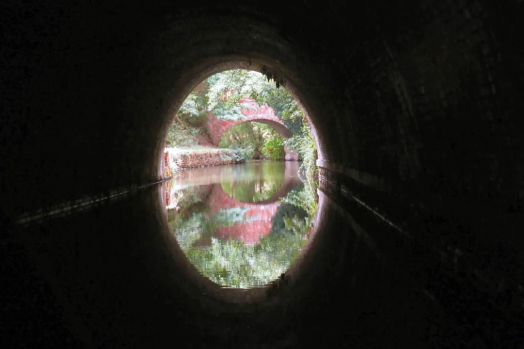
Into the tunnel, meeting no oncoming traffic, just a few flitting little birds at the southern end.
Would many of the lovely mooring spots be occupied? Not so, there were just three boats between the tunnel and the top of the locks.
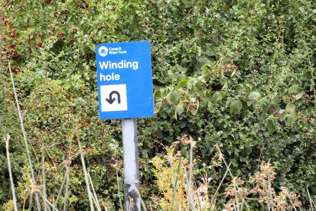
Cleddau was turned at the winding hole and moored up for a spot of lunch.
Noise - another boat!
Was one moving from the top of the locks?
A Watford Locks work boat was creeping past, a young volunteer on the helm, under instruction for winding the boat.
So what would the Watford Lock Flight look like now that it was closed indefinitely?
Signs indicating the closure are apparent.
It was odd early afternoon to see no boats, no lockkeepers, no boat crews. Some of the lock chambers were fairly full of water, others not: no doubt C&RT and volunteer lock keepers are keeping a close eye on the structures.
As if to show how un-busy the locks have been the Pick Your Own Herbs planter could do with some pickers!
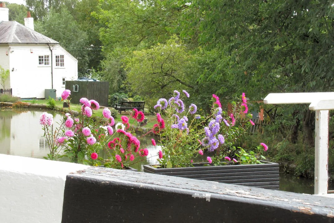
Splashes of bright colour, well-tended summer flowers in planter boxes, adorned some of the lock piers.
Down the hill Boatwif went, passing the single top lock, the 4 staircase locks and the 2 singles at the bottom. A piece of yellow string was stretched in front of the bottom lock gates, a notice for boaters attached to it. (Boatwif could not help but register that here C&RT had used yellow rather than its usual blue string!)
Another Canal and River Trust workboat and one solitary private boat were moored below Bottom Lock.
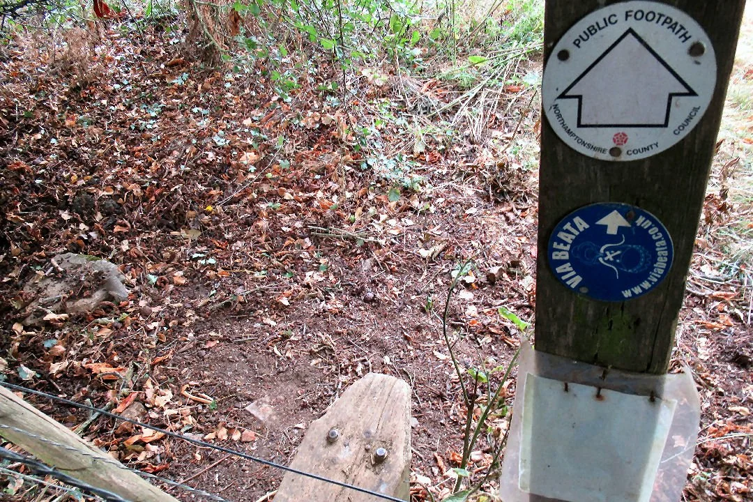
Back up the hill then, with a pause to peep at where the Via Beata trail crosses a field - and disappears it seems beneath the noisy, busy M1. https://www.viabeata.co.uk/walking-the-via-beata/. It’s a 400 mile Lowestoft to St Davids pilgrimage route.
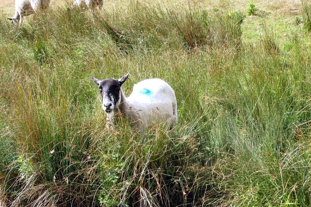
With plenty of mooring spots to choose from Cleddau had a quiet night, once the sheep in the field opposite had ceased their chatter…
Away the next morning, heading back north.
Past the sheep,
through the tunnel, past Crick Marina, squeezing past a Dutch barge style narrow boat,
past Cracks Hill and on towards Yelvertoft.
Yes, it was right, a towpath boater had explained that Yelvertoft Marina had now been stop planked off, making boat entry or exit impossible… Would this measure keep the boats afloat if the drought continued much longer…?
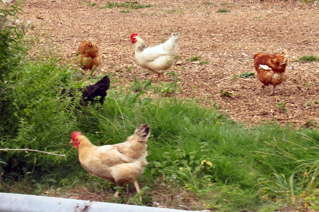
Cleddau continued on, northbound, past the pretty Yelvertoft house, this time with several chickens outside it.
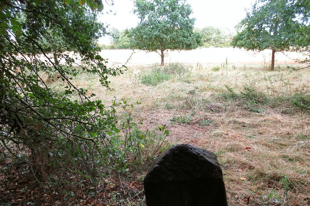
The route is familiar, on past cows in fields, past the seat in the (wild plum) woodland beside Bridge 27, past one of the trees planted as a Living Milestone
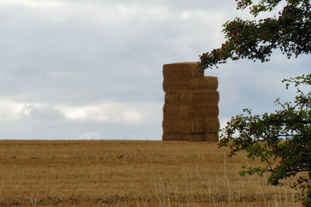
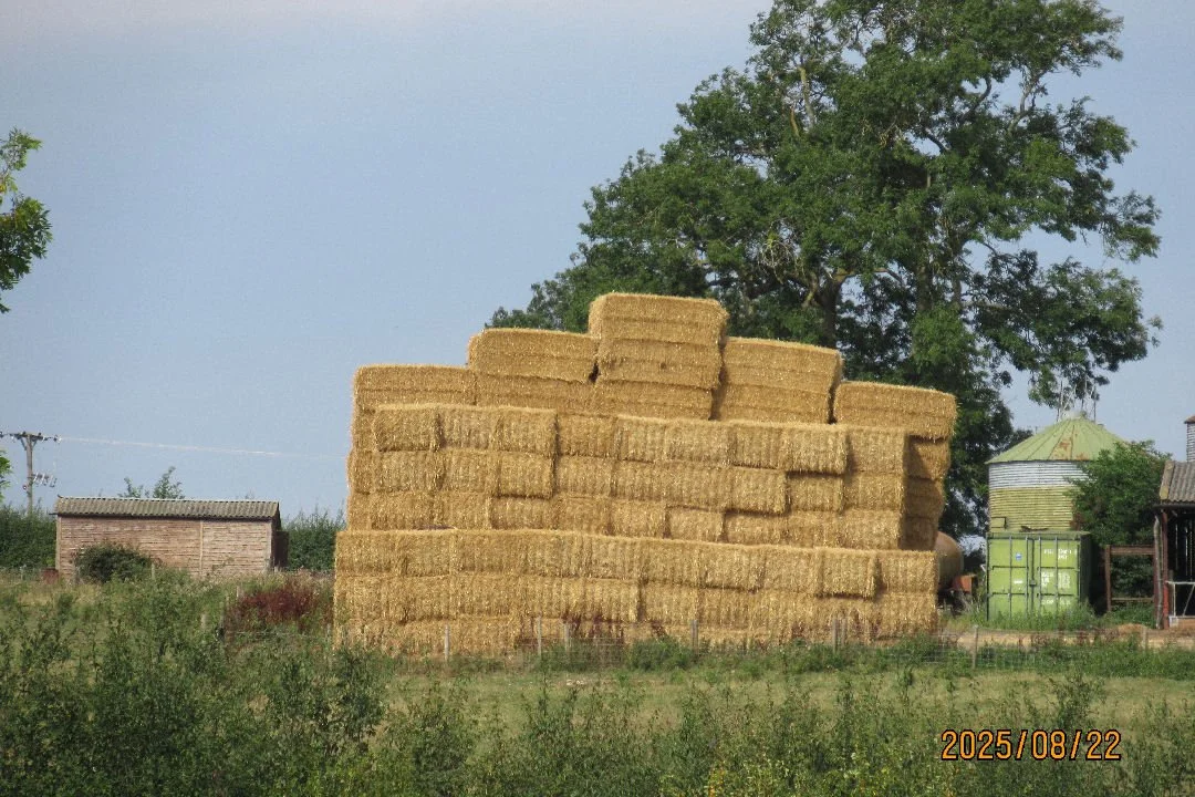
and past the tall ‘Jenga’ haystacks
to turn after Bridge 28
and find a good overnight mooring between Bridges 21 and 20.
The southbound cruise continued the next day: two boats approached (oh, so other boats are moving) - and one was towing a canoe.
Here was a different style of haystack, a sort of Lego Duplo wall…
Four cheery ladies were seated at the Yelvertoft Skew Bridge (Were they enjoying what the Captain calls ‘a Gossip Walk’…?)
Is this summit level short of water? To look at the spillways there was certainly no overflow, but enough water for the boat to progress back to the marina.
In a smooth, no-fuss arrival Cleddau pulled back onto her pontoon, bow first. It was a flawless return – yet no-one was around to witness it!
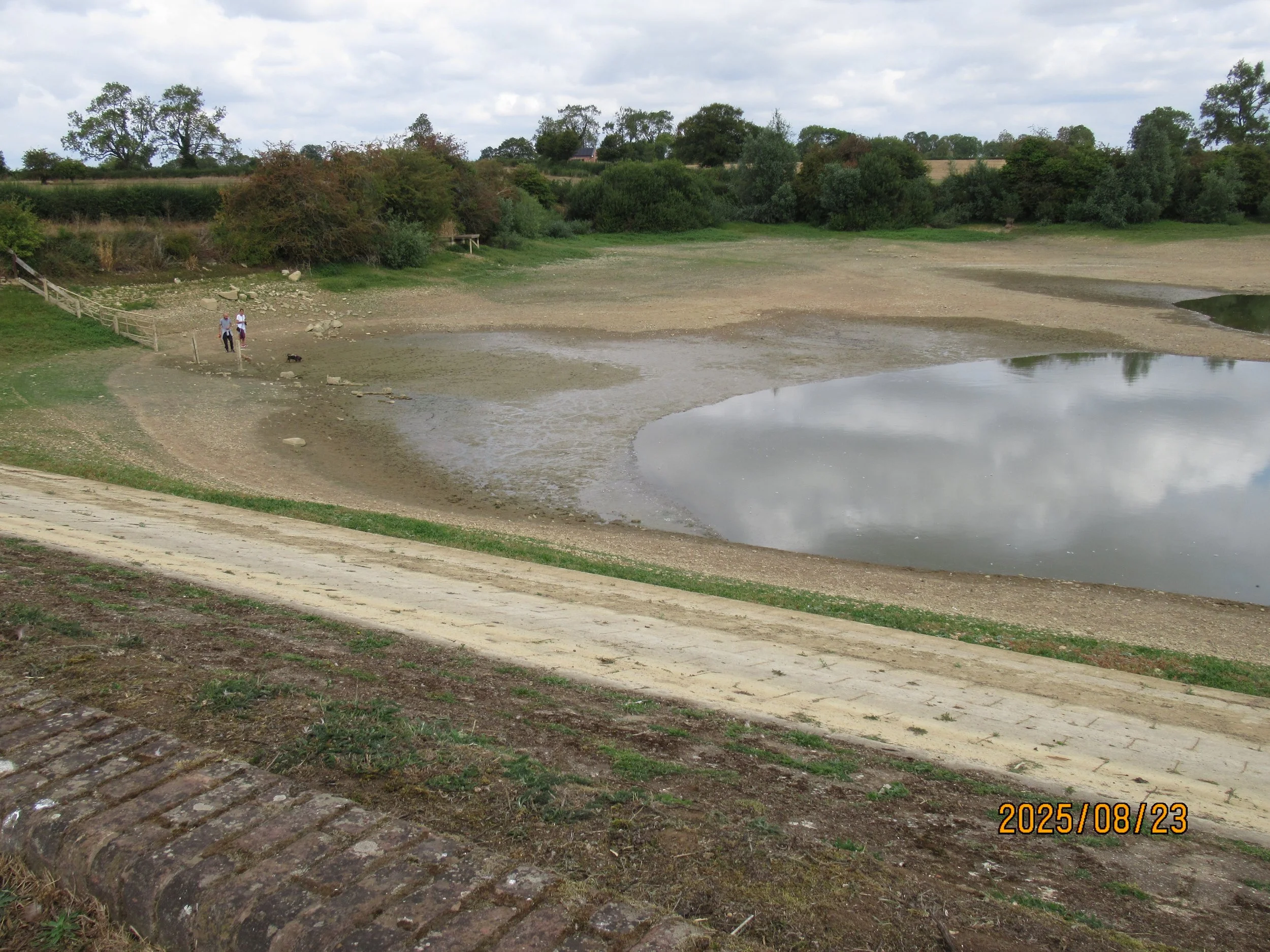
Just how bad is this water crisis? That was a nagging thought for the Cleddau crew. The Leicester summit is fed from two reservoirs, at Welford and at Naseby. A five hour cruise to Welford can be managed in 16 minutes by car. So, on a Saturday morning (23rd August) a reservoir investigation was undertaken.
There was the Welford Reservoir dam wall and a totally dry overspill.
From the dam wall you can see below the recognisable shape of the Wharf Inn
– and the large puddle that is the water supply for the canal…
Several anglers had set up station on dried out mudflats near the water line, quite some distance from the fishing platforms …
The different colours of the mud suggest how the water has been evaporating in the heat.
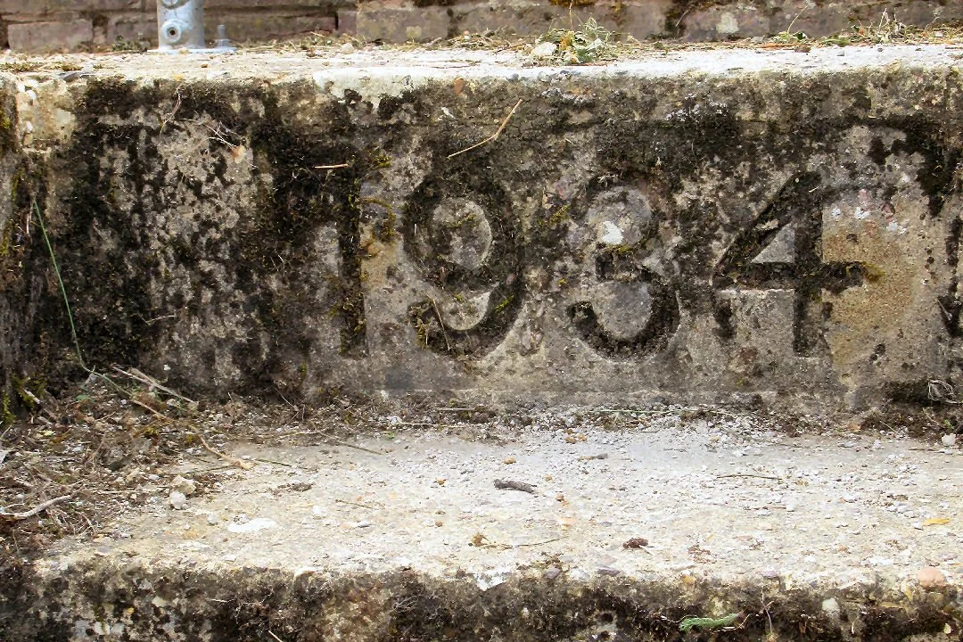
A 1934 set in the concrete steps down from the dam indicate when the dam was constructed (or repaired).
Here was another date which is normally under water.
From the dam wall the markings on three depth monitoring poles can be read. The furthest pole is encased in dried out mud – presumably when water levels are healthier that pole is submerged…
Two locals sitting on the dam wall with their picnic lunch claimed that the water level was the lowest they had ever seen.
Onward then, in a (fruitless) quest to observe the water level state at Naseby Reservoir. How do you get close to it? It was always ‘Over there’, then ‘Behind the trees’, then ‘In a hollow between higher ground’… Maybe the only access point is via the private Carp Fisheries road…
As this dry summer limps into autumn what likelihood is there of these Summit boaters being able to make another 2025 short trip to say, Braunston (down Watford Locks) or, via Foxton Locks, to Market Harborough…??
Miles cruised: 16½; tunnel transits: 2
